manipulation: maps
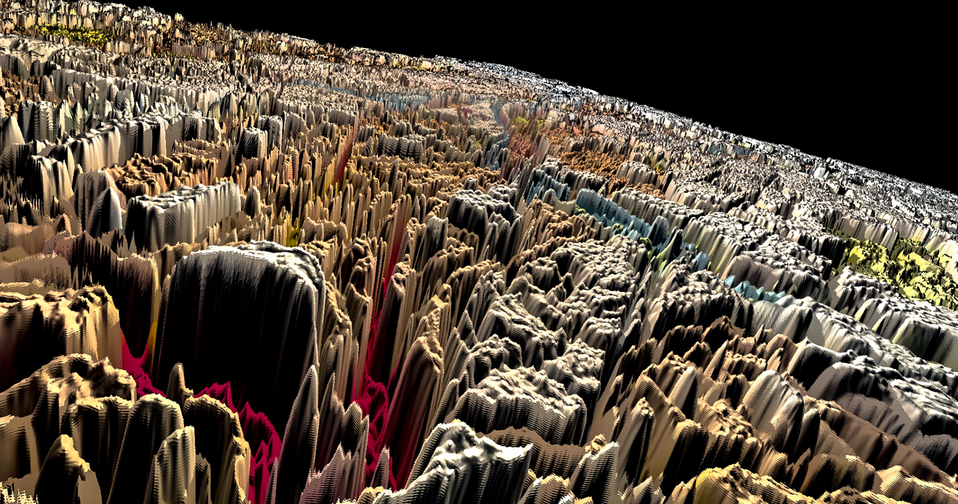
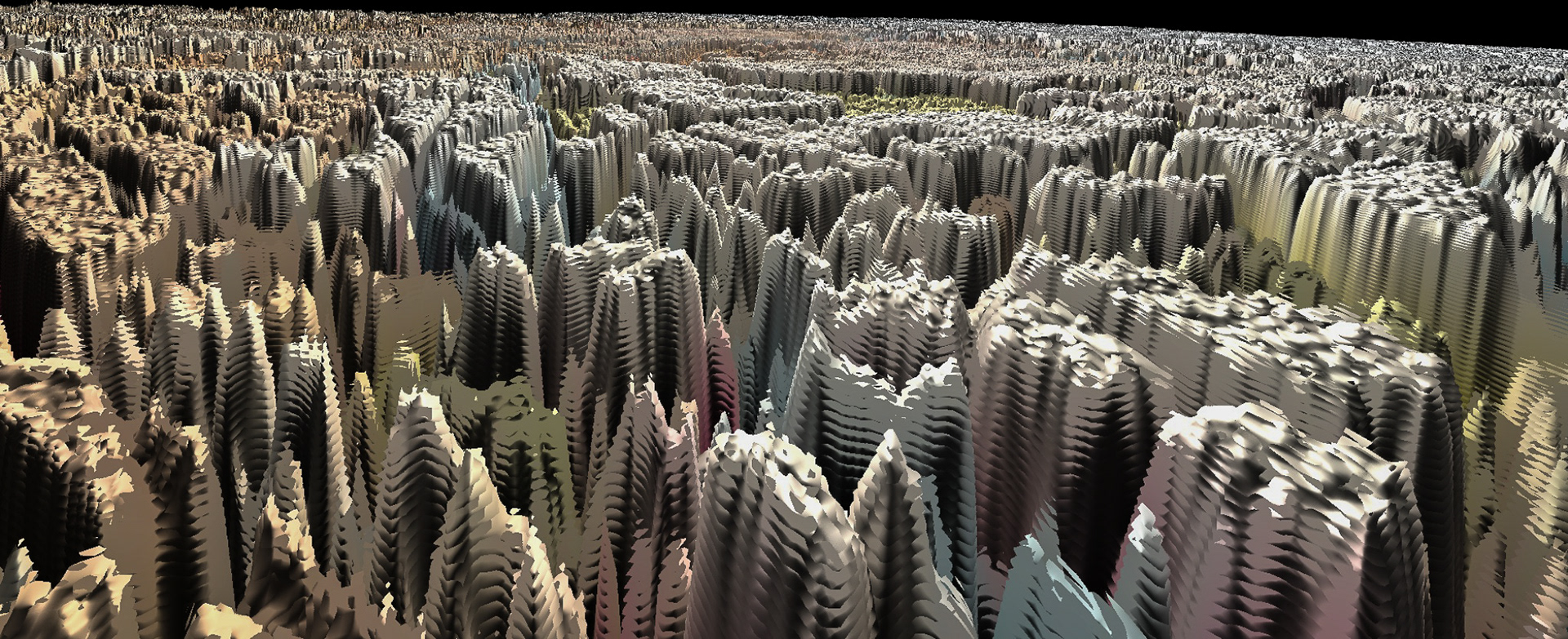
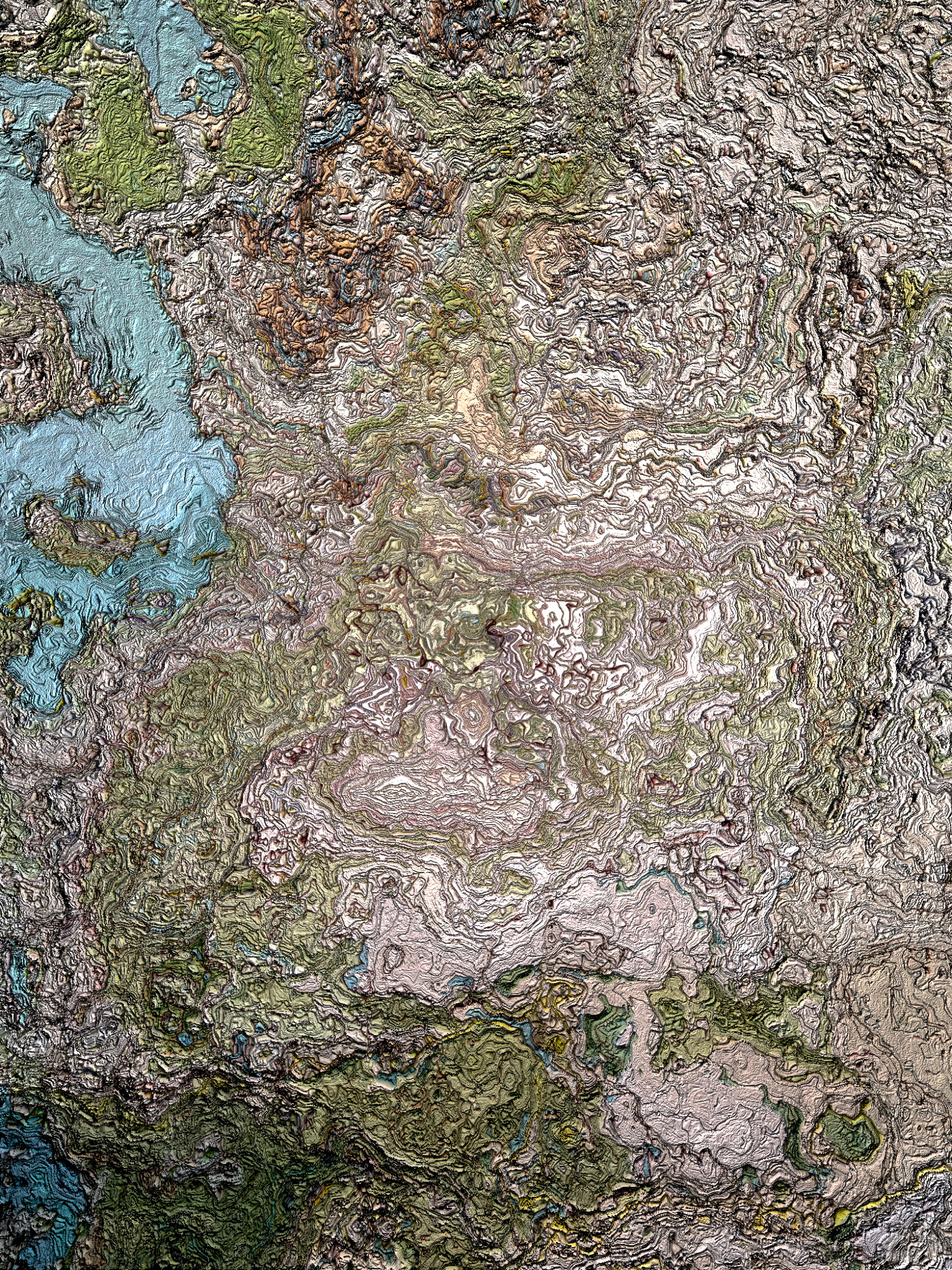
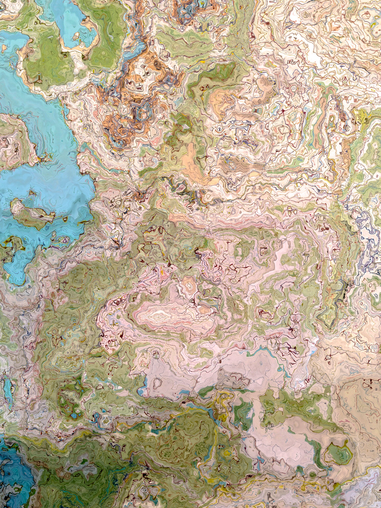
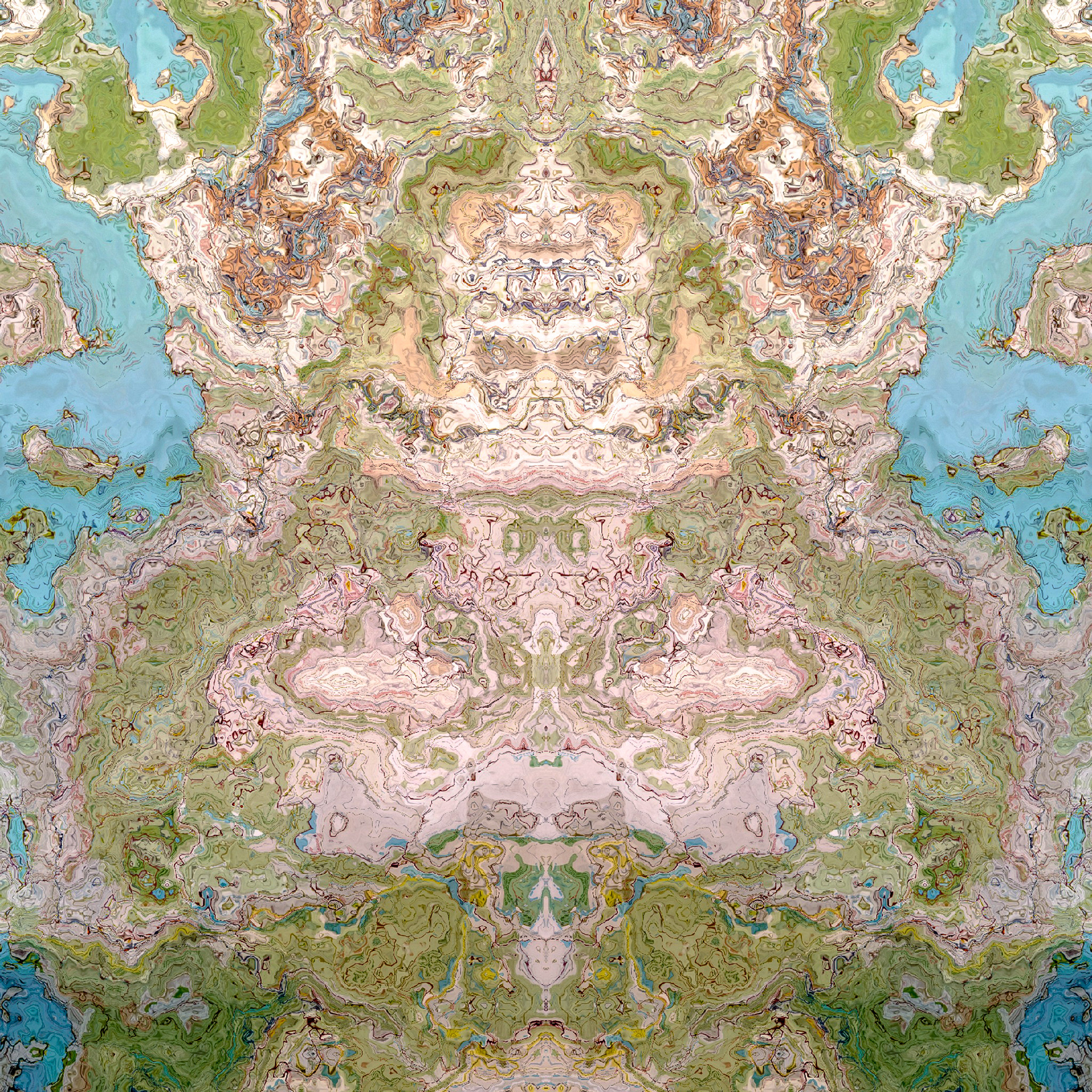
i've long felt there is a kind of aesthetic intrigue and beauty in maps. whether they be satellite google earth style images, drone-to-satellite overview photos, or simple roadmaps and ordnance surveys–i find myself staring at maps often, and this has been the case since i was very young. seeing maps gives you a different sense of a location and there is a lot of enjoyment in this perspective shift. Looking at your childhood town, for instance, and marvelling at how small it all looks, can be an interesting experience.
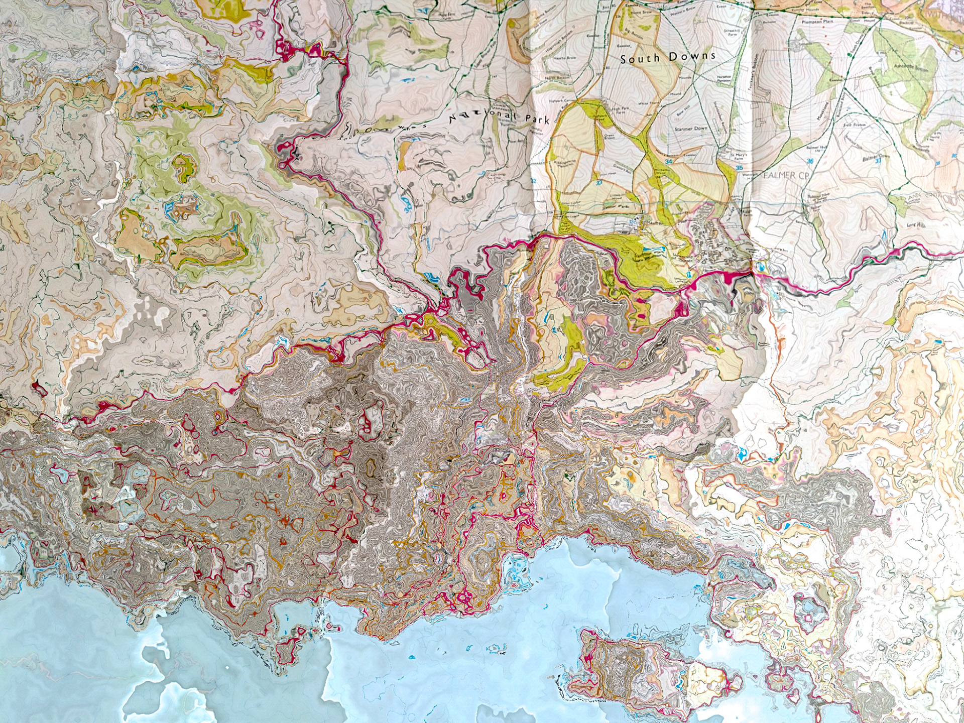
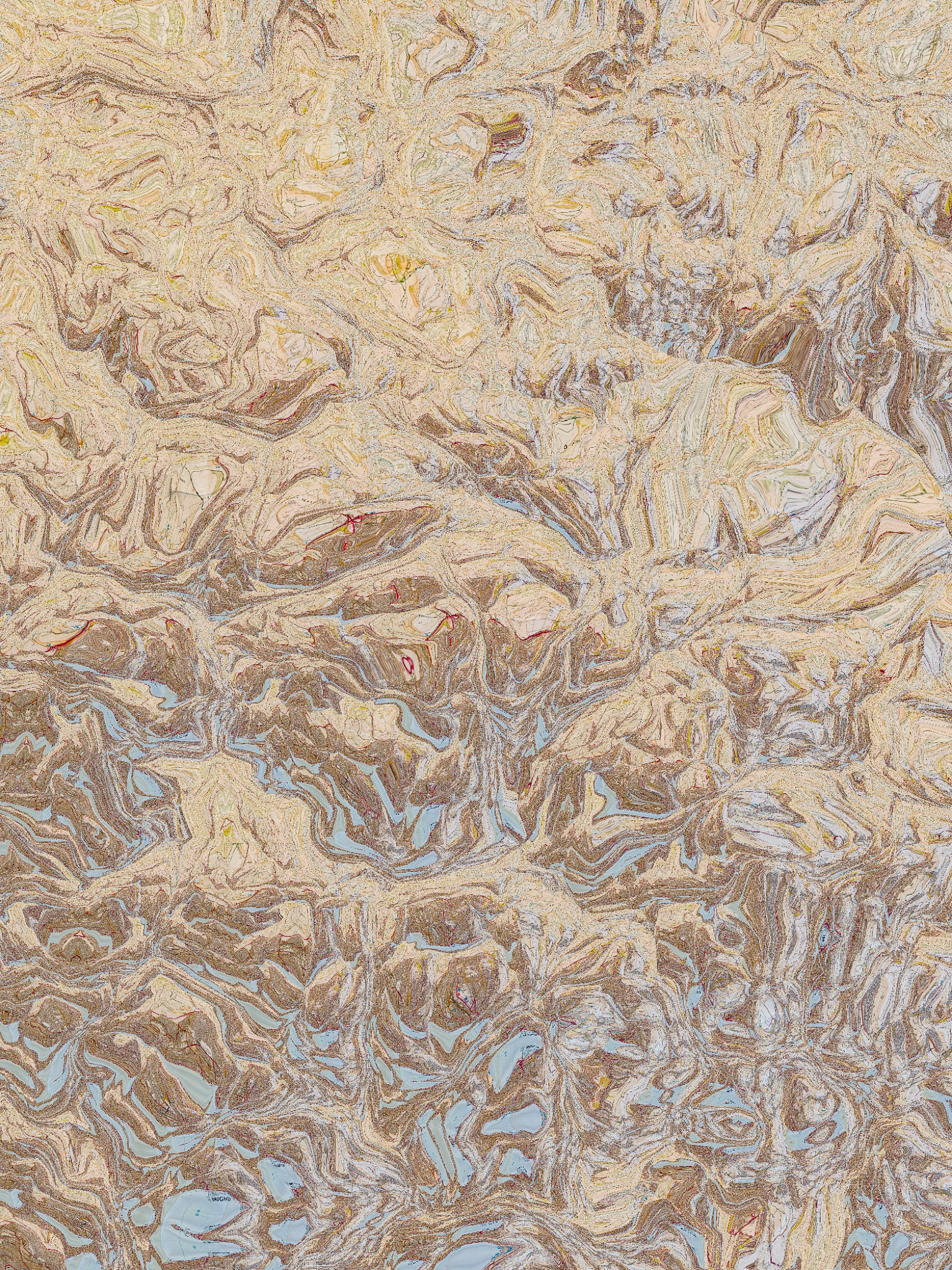
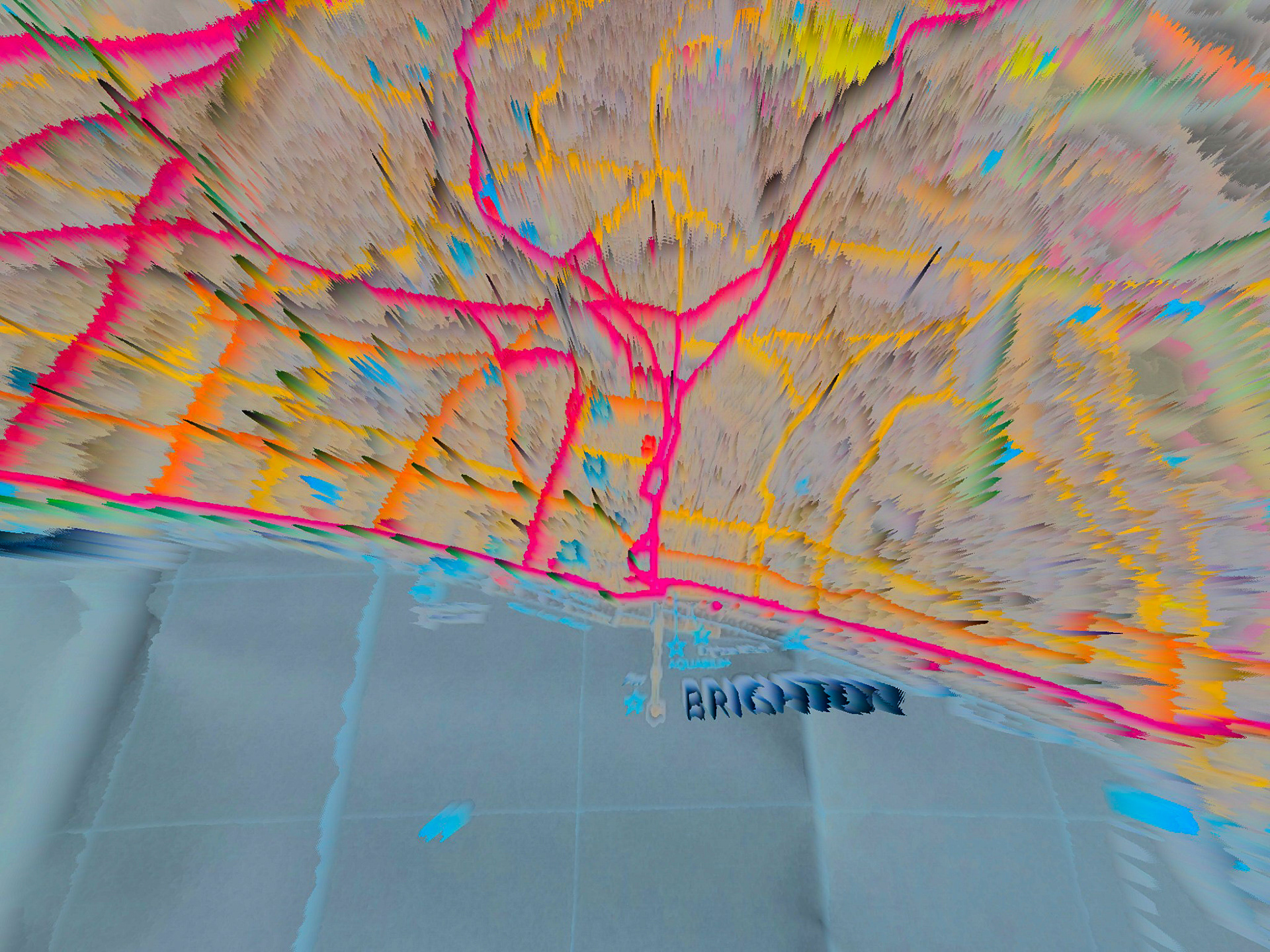
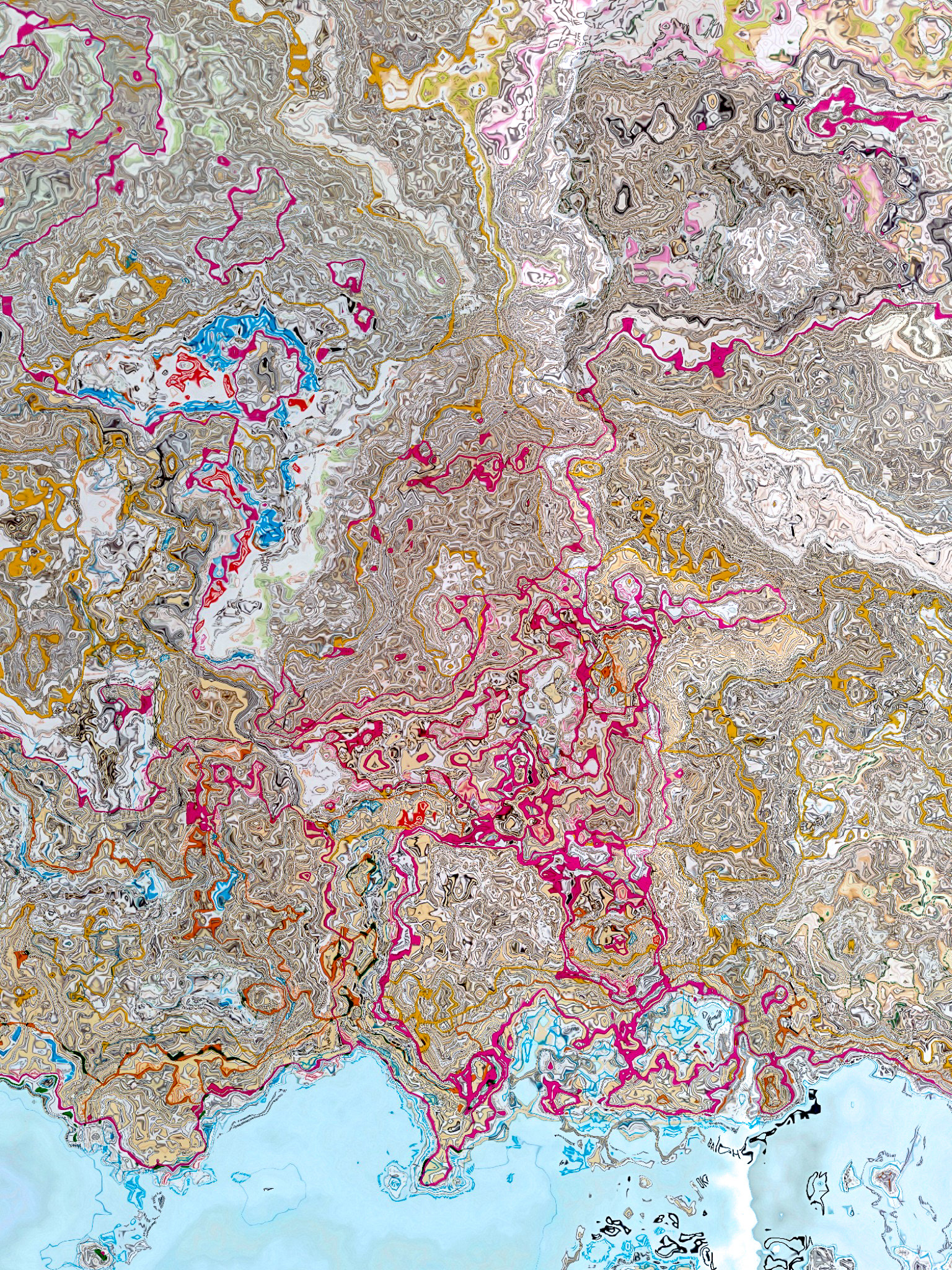
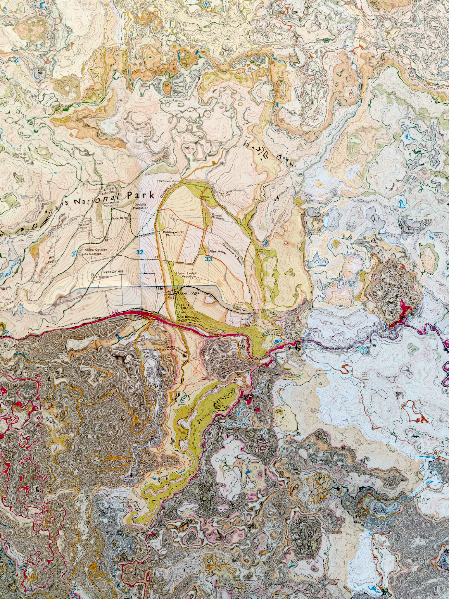
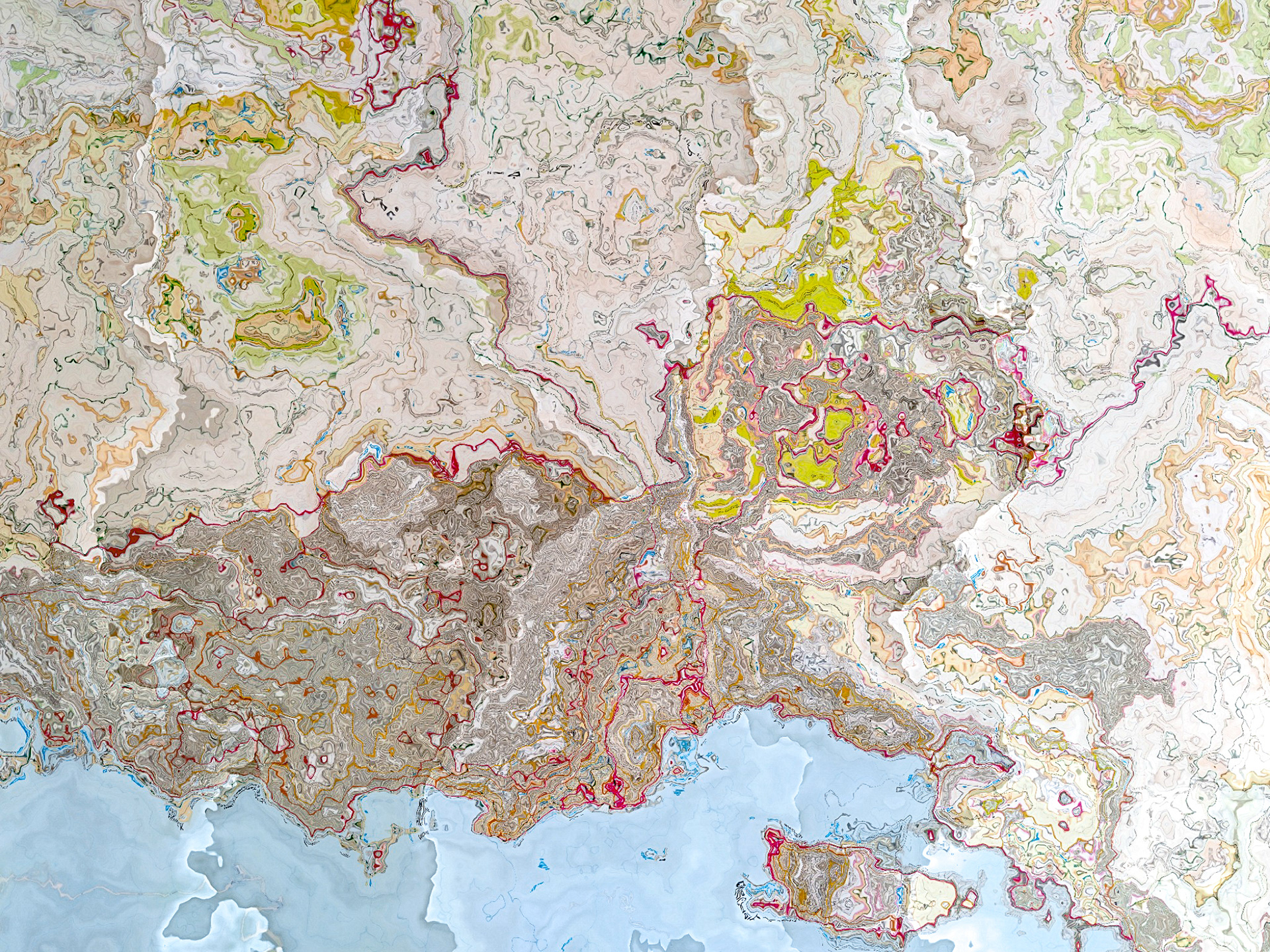
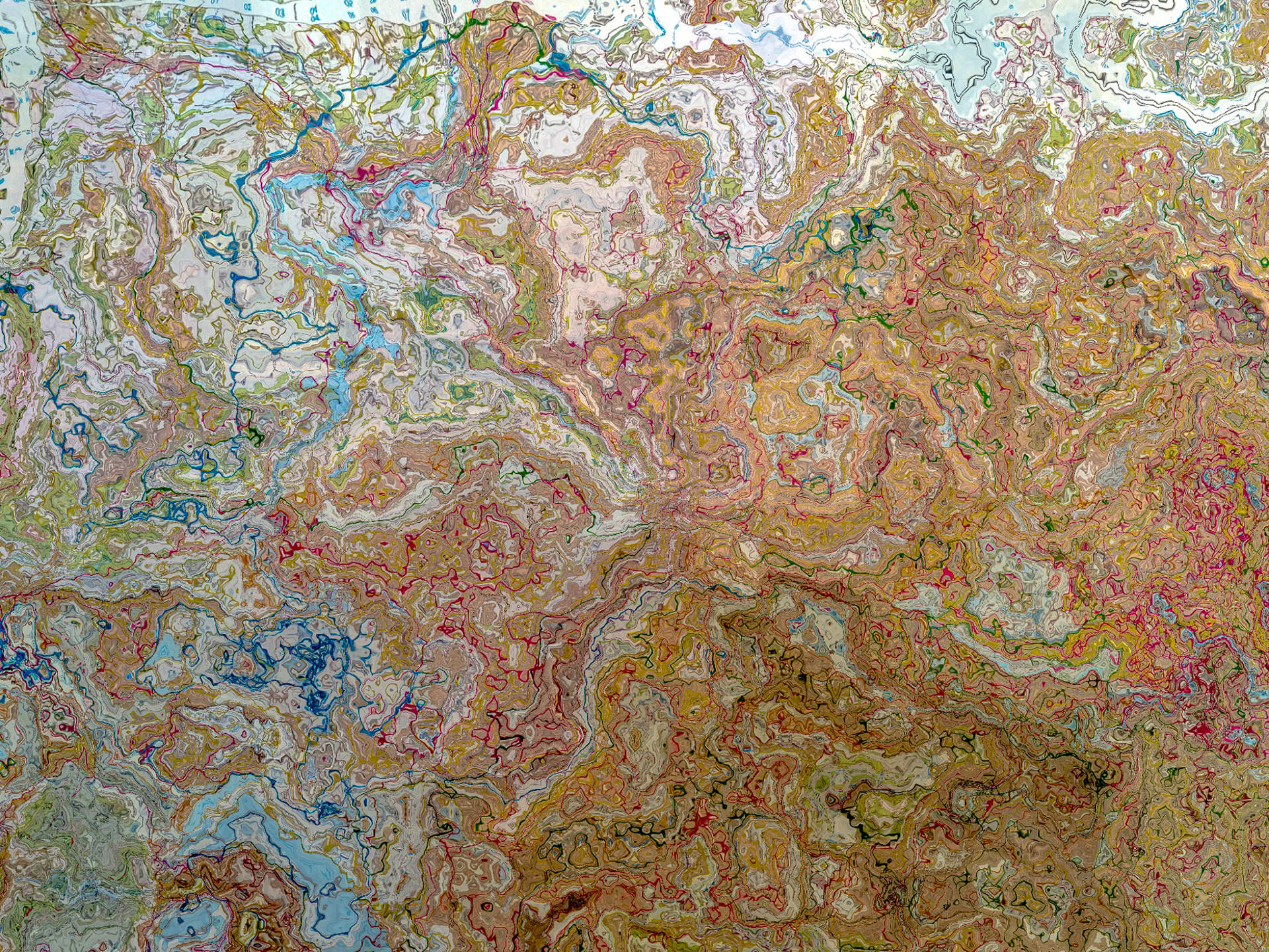
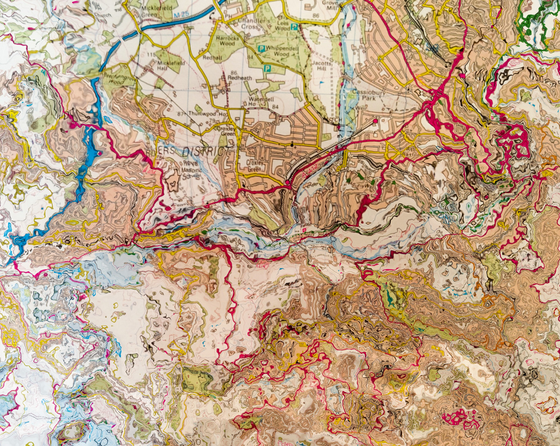
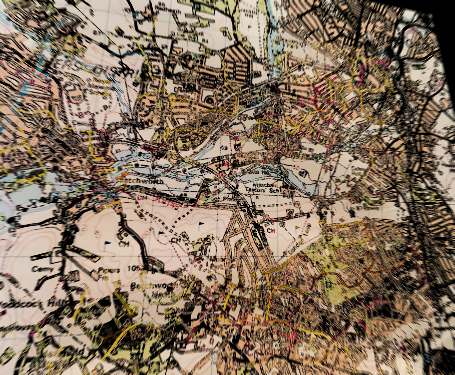
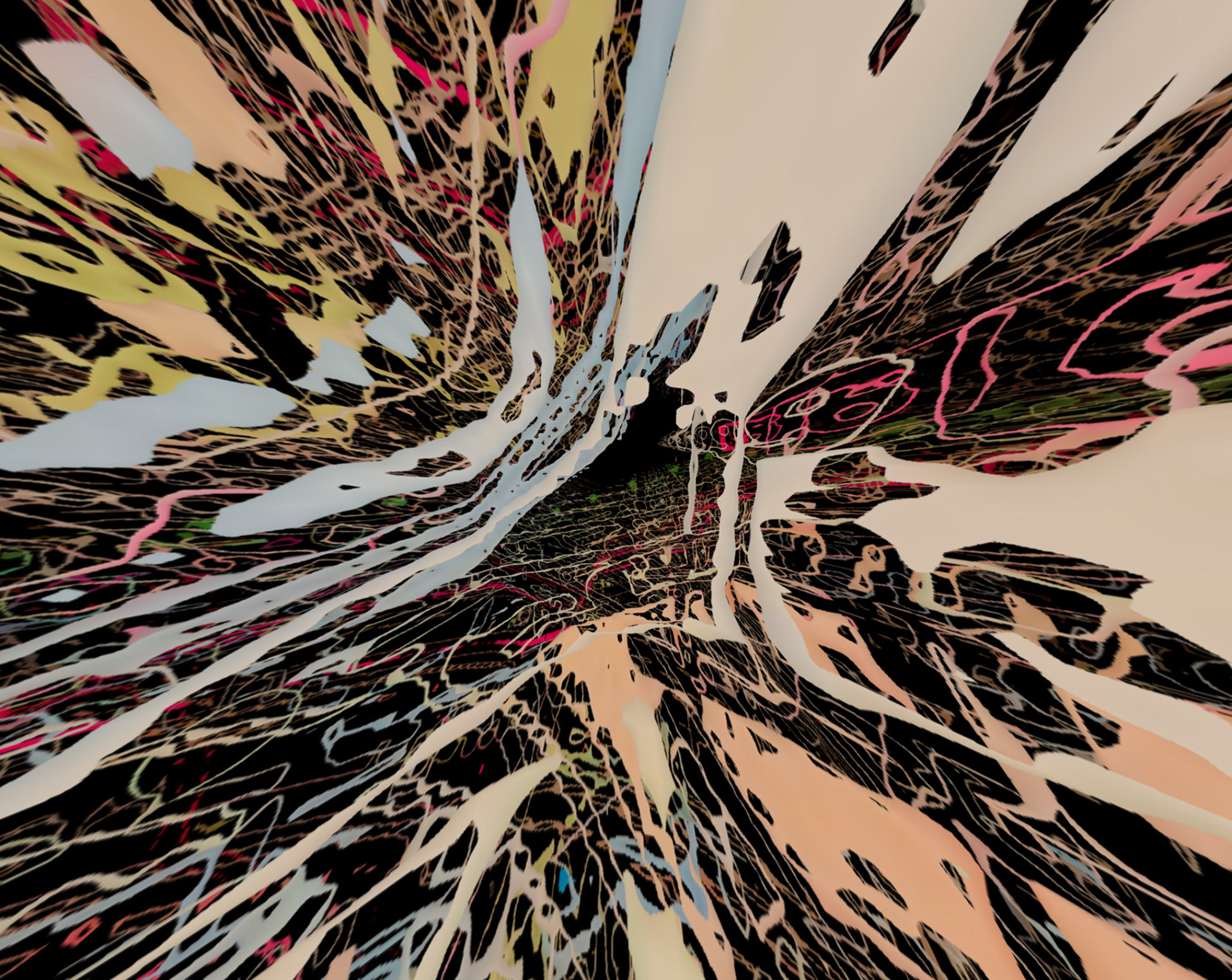
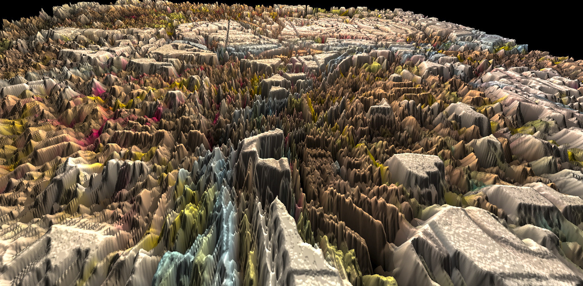
with this collection, i bought myself a map of the city i currently live in (brighton & Hove), the town of my upbringing (Croxley Green), as well as a map of a place that i hold dear to my heart and lived in for a year (the pacific northwest), and used these as a basis to manipulate them in any way i liked. the resulting images ranged from abstract forms that hardly resembled the original maps, to ones where the shape, or perhaps simply just the names, of the area were somewhat recognisable. Doing this both reflects how maps are simultaneously accurate yet abstract. A map might have become part of our daily lives, its shapes or colours internalised and recognisable in the mind, yet still they are abstract creations. This method of manipulating maps transports my conceived beauty of the form of maps into more obvious depictions.
THIS PROJECT WAS UNDERGONE IN LATE 2019 AND EARLY 2020, AND ALSO FEATURED A VIDEO ANIMATED EXPERIMENT VERSION TOO, LINKED BELOW:
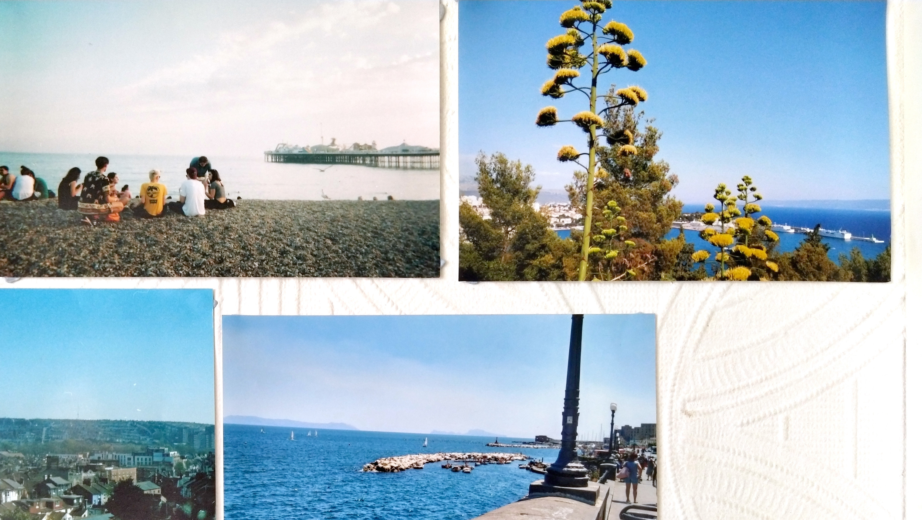
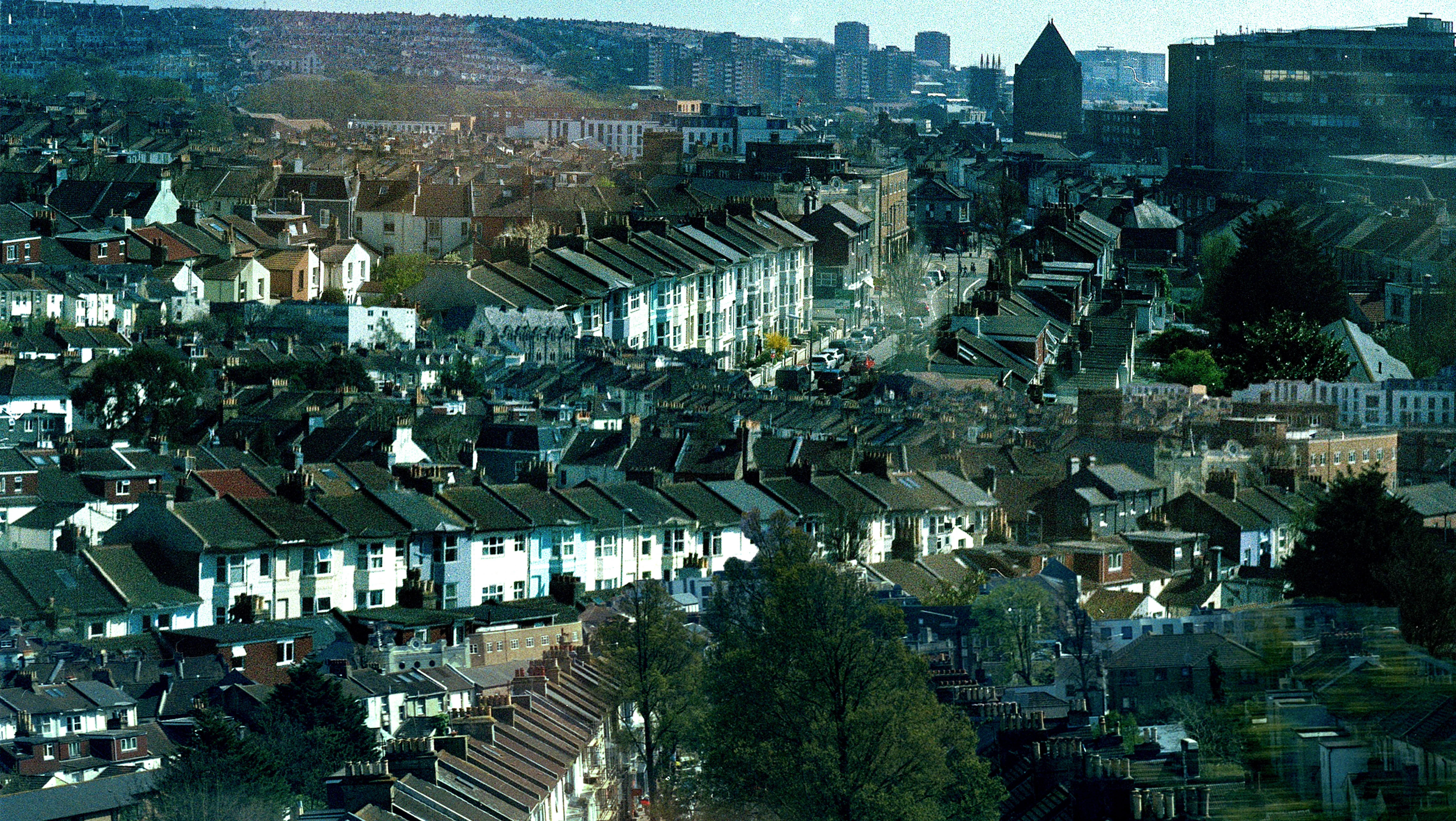
BN1 (Brighton)
artwork for jahna - vestiges https://soundcloud.com/jahnamusic/vestiges-clip


WD3 (Croxley, Watford and NW London)
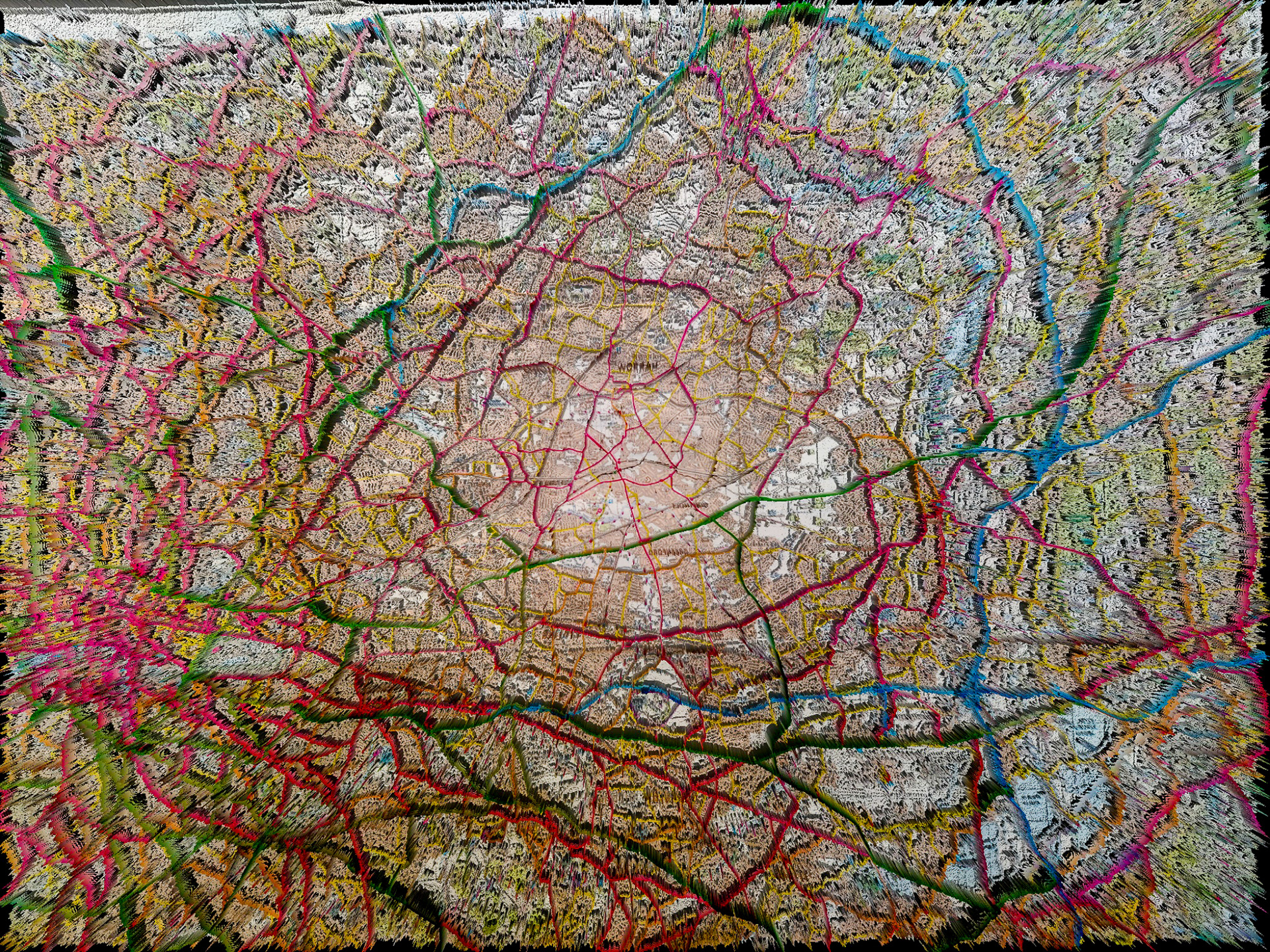

PNW (Pacific NorthWest)

Thank you!